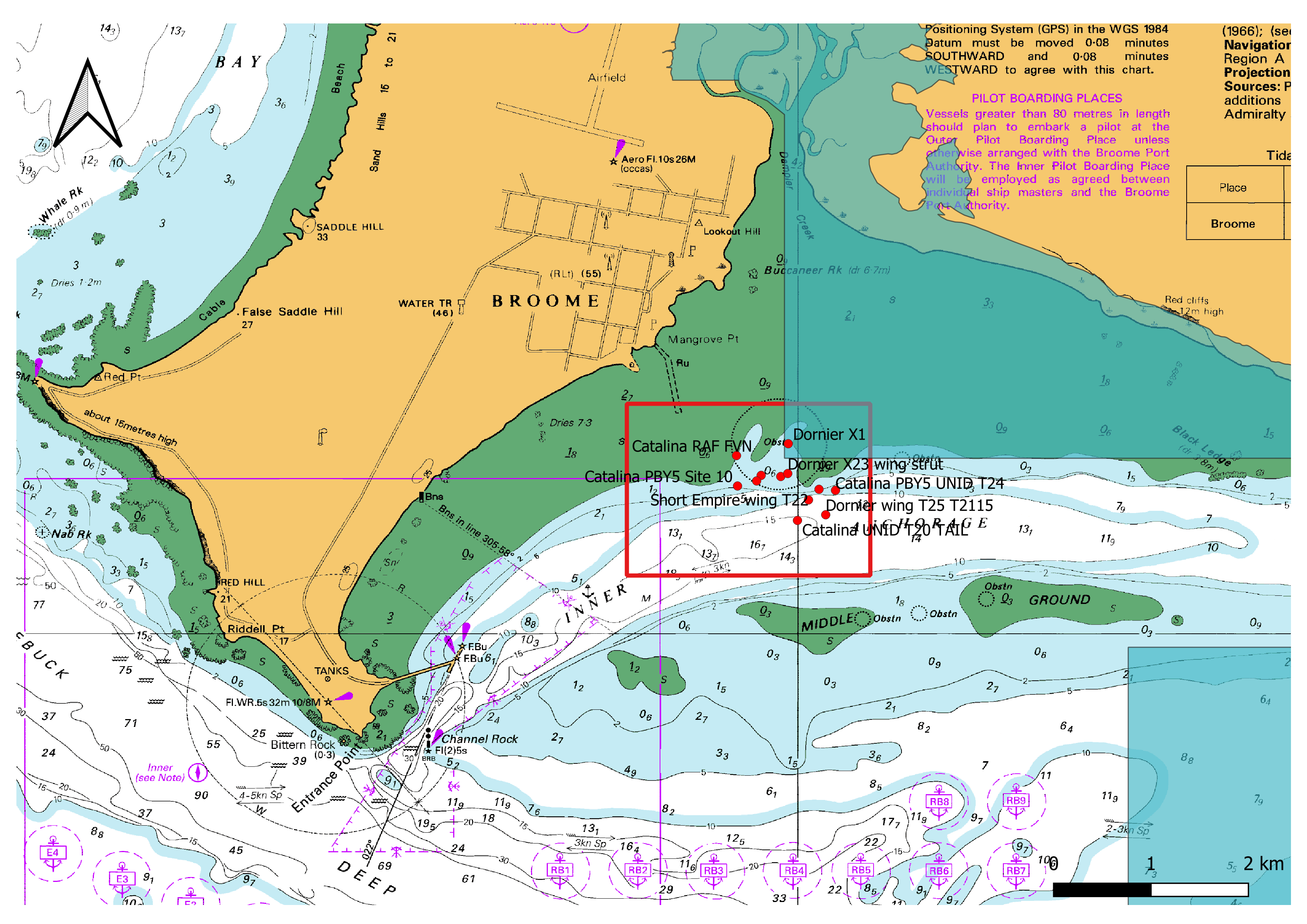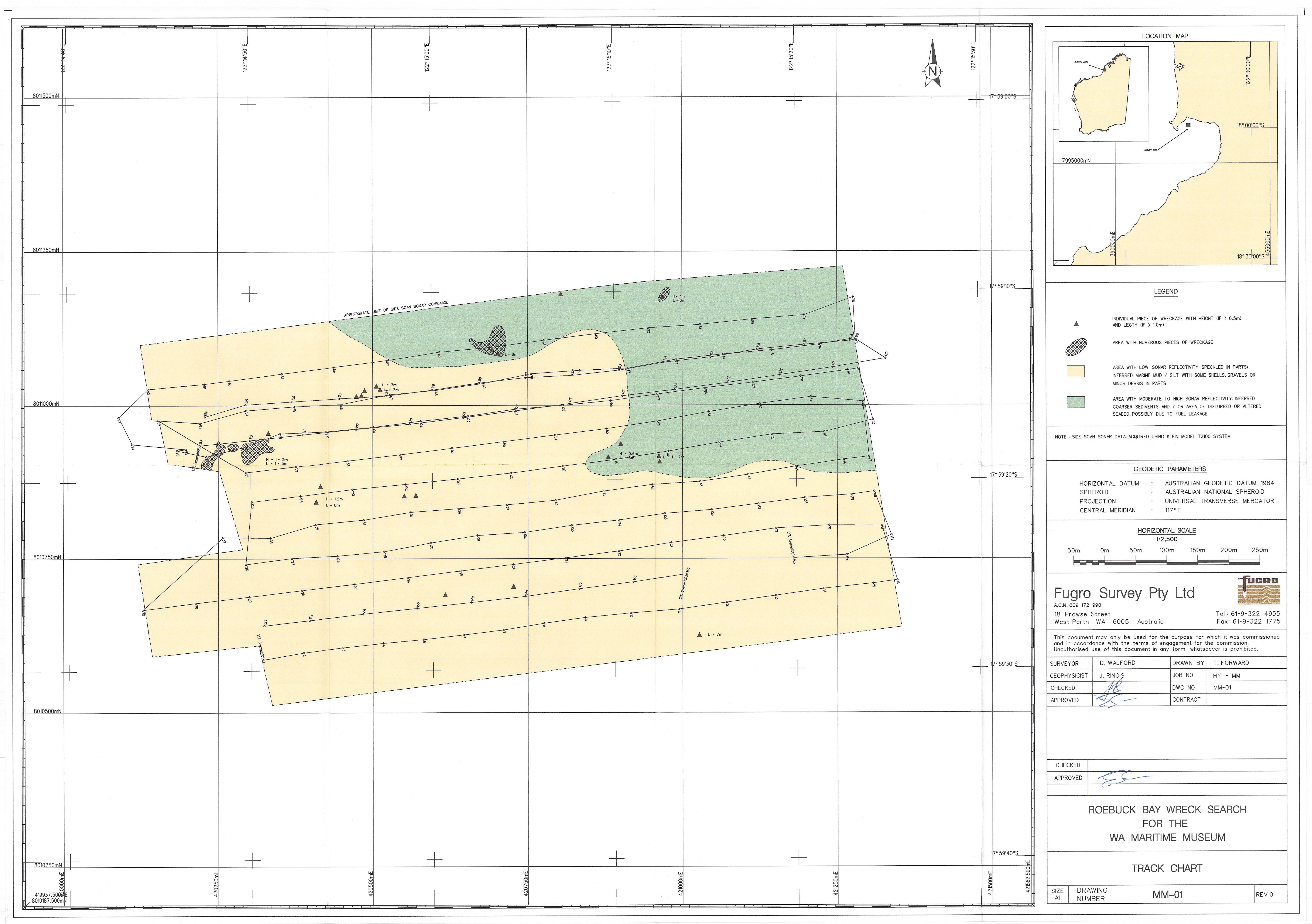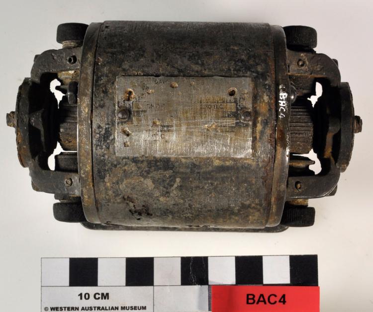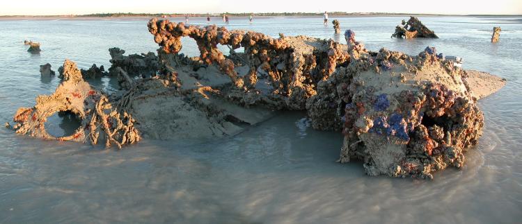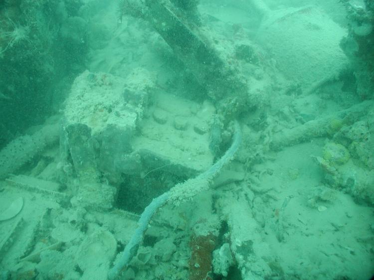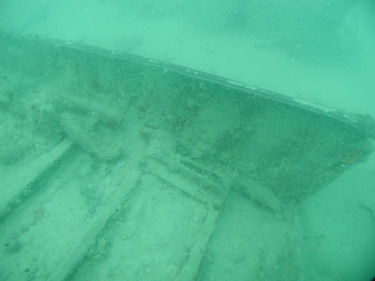
Aircraft
15 flying boats
Operators
Marine Luchtvaartdienst (Netherlands Naval Aviation Service)
United States Navy
Royal Air Force
Royal Australian Air Force
Q.A.N.T.A.S Empire Airways
Departed
Lake Grati, Lengkong, Teloengagoeng, and Tjilatja, Java
Destination
Perth or Sydney
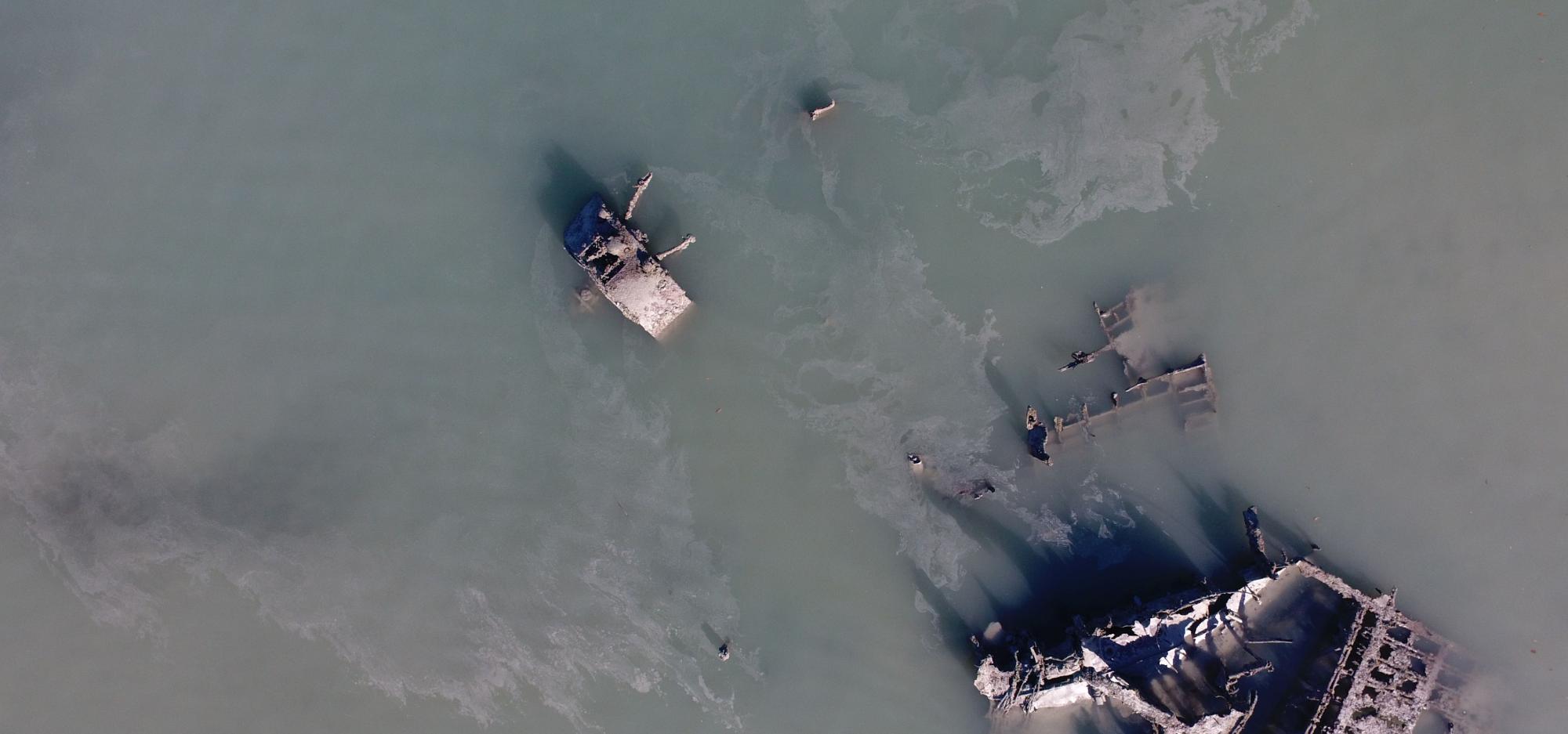
Wrecked
3 March 1942, Roebuck Bay, Broome
Protection
WA Heritage Act 2018
History
At the commencement of the Second World War, Indonesia was still under Dutch colonial rule. Initially, the Netherlands adopted a policy of neutrality, and tacitly relied on Great Britain and the United States of America to defend the Netherlands East Indies (NEI) if required. In December 1941, following Japanese attacks on British and American bases in Asia and the Pacific, the Netherlands joined its allies and declared war on Japan.
Following the declaration, Japanese forces made rapid advancements across Southeast Asia. By January 1942, they had landed troops in Dutch-controlled Borneo, Sumatra, and Maluku, and forced Allied troops to progressively retreat to Java. Expecting further encroachments, in February 1942, Dutch civilians began evacuating out of Java. An ‘air bridge’ was established that, over a two-week period, evacuated 8,000 Dutch out of NEI to Perth and Sydney, via Broome. Normally, Darwin would have been the stopover port, but after an aircraft carrying evacuees was shot down in January 1942 and the bombing of Darwin on 19 February 1942, it was no longer a viable option.
Broome was not ideally suited to be the main refuelling stopover. There were no moorings and extreme tidal conditions meant the flying boats needed to anchor far from the shore. There were also limited fuelling facilities in Broome, meaning the flying boats were often waylaid.